
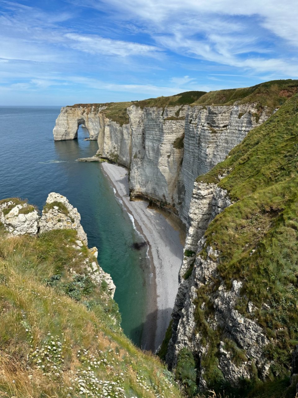
Stand at the start of the South West Coast Path in Minehead and the finish line is, in a straight line, little more than 70 miles away across the peninsula. On foot it is 630 miles. That is the whole point. The longest of England’s National Trails hugs the coast of Somerset, Devon, Cornwall and Dorset, in and out of every cove, over every headland and down to every estuary, and in doing so it climbs and descends around 35,000 metres, roughly four times the height of Everest from sea level. It is not one walk so much as a season of them. Its opening stretch along Exmoor’s wooded cliffs also makes a fine standalone day: see this guide to walking from Porlock to Lynmouth.
A path made by coastguards
The route has a practical origin. In the eighteenth and nineteenth centuries coastguards patrolled the cliffs on foot looking for smugglers, and they needed to see into every inlet where a boat could land. Their patrol paths clung to the cliff edge, which is why the modern trail rarely takes the easy inland line. The path was designated in sections through the 1970s and declared complete in 1978, although rights of way disputes meant a few gaps were only closed years later, and coastal erosion still forces diversions every winter.
The trail is conventionally walked anticlockwise, from Minehead west along the north coast, round Land’s End and back east along the south coast to South Haven Point at the mouth of Poole Harbour. Most people who tackle it in one go allow seven or eight weeks. Far more walk it in stages over several years, a week at a time, which suits the rhythm of the coast and the seasonal availability of beds.
Exmoor and North Devon: the highest cliffs
The opening days set the tone. The path leaves Minehead and climbs immediately onto the Exmoor coast, the highest cliffs in England, where the moor drops straight into the Bristol Channel. Great Hangman, at 318 metres, is the highest point on the entire route, and the sea cliff below it falls nearly 250 metres. The Valley of Rocks near Lynton, with its feral goats and sheer pinnacles, is one of the strangest landscapes on the trail.
North Devon brings the wide surfing beaches of Woolacombe and Saunton, the long detour around the Taw and Torridge estuaries, and then the Hartland peninsula. The stretch from Hartland Quay to Bude is widely regarded as the toughest day on the whole path: a relentless sequence of steep combes, each dropping to sea level and climbing straight back out, on a coast facing the full Atlantic.
Cornwall: the long way round
Cornwall accounts for close to half the trail. The north coast runs past the slate headlands of Boscastle and Tintagel, the estuary crossing at Padstow, and the mining coast beyond Newquay where engine houses stand on the cliff edge and old shafts are fenced beside the path. St Ives marks the beginning of the granite country of West Penwith, a wild and rocky stretch to Land’s End where the going is slow and the sea is almost always loud.
Round the corner the character softens. The south coast of Cornwall is a coast of drowned river valleys: Mount’s Bay, the Helford, the Fal, Fowey and the Tamar. The Lizard is the most southerly point in mainland Britain and a place of unusual rock, serpentine that polishes to dark green, and rare heathland. Ferries take you across the larger estuaries, and their timetables shape the day. Some run all year, others only in summer, and a few tidal crossings are simply not possible at low water or after dark. Planning a Cornish week means planning around boats.
Devon’s south coast and the Jurassic Coast
South Devon repeats the pattern of headlands and rias: Plymouth Sound, the Yealm, the Erme, the Avon, Salcombe, the Dart and the Exe. The Erme has no ferry and must be waded at low tide, which is either a highlight or an anxiety depending on temperament. Beyond Start Point the coast turns gentler, with red sandstone cliffs between Exmouth and Sidmouth marking the beginning of the Jurassic Coast, designated a World Heritage Site in 2001 for the 185 million years of geology exposed in its cliffs.
Dorset provides a fitting finale. Golden Cap, at 191 metres, is the highest point on the south coast of England. Chesil Beach runs for eighteen miles as a bank of shingle with the Fleet lagoon behind it. Then come the chalk cliffs of Lulworth and Durdle Door, the army ranges east of Lulworth Cove that are open to walkers on most weekends and during school holidays but closed when firing takes place, and finally the Purbeck coast to Old Harry Rocks and the sand of Studland, where the path ends beside the chain ferry at South Haven Point.
How hard is it really?
The difficulty of the South West Coast Path lies in accumulation rather than in any single obstacle. There is no scrambling and no true mountain terrain, but the constant descent and ascent wears on knees and morale. Daily distances that look modest on a map can take all day. A twelve-mile stage on the Hartland coast is harder than twenty miles on the Dorset chalk. The path is also exposed: on a cliff top in a south-westerly gale there is nowhere to hide, and in summer the same cliff tops offer no shade at all.
- Spring brings wildflowers, nesting seabirds and quiet paths, but some ferries have not yet started for the season.
- Summer offers the full ferry service and long days, at the cost of crowded villages and heat on the south coast.
- Autumn is often the best compromise, with warm sea, clearer light and beds easier to find.
- Winter walking is possible on many sections, though storms, mud and diversions after cliff falls need to be expected.
Walking it in pieces
Because the trail passes through so many towns and villages, it divides naturally into sections of five to seven days, each with a bus or rail connection at both ends. Minehead to Padstow, Padstow to Falmouth, Falmouth to Plymouth, Plymouth to Exmouth and Exmouth to Poole are the usual divisions, each different enough in character to feel like a separate trip. A completion of all 630 miles, whether in one push or over a decade, is something walkers tend to count in years rather than days. The coast is patient. It will still be there, a little further back from the edge, when you return for the next stretch.