
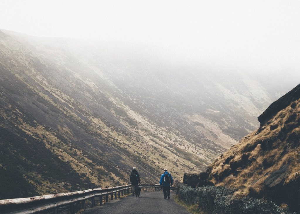
The Peak District was Britain’s first national park, designated in 1951, and it remains the one most people live closest to: a third of the population of England is within an hour of its boundary. That proximity gives it a particular character. It is not remote, and it does not pretend to be, but its northern half, the Dark Peak, offers gritstone edges and peat moorland of a wildness out of all proportion to its size. Three walks in particular define it, and each can be reached from a railway station.
Kinder Scout: the plateau that started it all
Kinder Scout is a plateau rather than a peak. Its highest point, at 636 metres, is an unremarkable spot on a sea of peat, and the mountain is better understood as a raised tableland of several square kilometres ringed by gritstone edges. The classic ascent starts at Edale, where the Pennine Way begins, and climbs the stone steps of Jacob’s Ladder to the western rim. From there the edge path runs north past the Kinder Downfall, where the River Kinder falls thirty metres over the lip of the plateau; in a westerly gale the water is blown back uphill, and in a hard frost it freezes into a curtain of ice.
The moor’s importance is as much historical as physical. In April 1932 several hundred ramblers walked onto Kinder from Hayfield in defiance of the landowners, in a mass trespass that led to arrests and prison sentences, and eventually to the national parks legislation of 1949 and the right to roam on open country. Walking the edge today, with unrestricted access across the whole plateau, it is worth remembering that this was not always so.
Navigating the peat
The interior of Kinder and its neighbour Bleaklow, at 633 metres, is a maze of groughs, the drainage channels cut two or three metres deep into the peat. In clear weather they are an inconvenience; in mist they are a serious navigational problem, because the ground is featureless, the channels wander, and the compass is the only reliable guide. Crossing the plateau from Kinder Downfall to the Edale side involves an hour or more of this, and we have known experienced walkers lose half a day in it. Stay on the edges if the cloud is down, and carry a map and compass that you know how to use rather than relying on a phone.
The peat is also fragile. Decades of industrial pollution and fire stripped the vegetation from large areas, and restoration work has re-seeded much of the plateau with cotton grass and sphagnum. Stick to the paths where they exist, and be scrupulous about fire: the moors here burn in dry summers, and a single disposable barbecue has closed thousands of hectares.
Stanage Edge: the longest gritstone escarpment
Stanage runs for about six kilometres along the eastern side of the Derwent valley, a continuous wall of gritstone facing west over Hathersage and the Hope Valley. Its high point, High Neb, stands at 458 metres. To climbers it is the most important crag in the country, with well over a thousand recorded routes; to walkers it is a promenade with a drop on one side and heather moor on the other, and one of the easiest ways to feel high without climbing far.
The full traverse from Stanage End in the north to the Cowper Stone in the south takes two to three hours at an easy pace. Along the way the path passes millstones abandoned where they were cut, a legacy of the trade that gave the region its emblem, and the causeway of an old packhorse road at the Long Causeway. From Hathersage station the edge is an hour’s walk uphill, and a circuit returning by Higger Tor and Carl Wark, an Iron Age fort on a natural rock bastion, makes a full and satisfying day.
The Great Ridge: Mam Tor to Lose Hill
Between Edale and the Hope Valley a ridge of shale and gritstone runs for three kilometres from Mam Tor, at 517 metres, over Hollins Cross and Back Tor to Lose Hill at 476 metres. It is short, it is popular, and it is one of the best walks of its length anywhere in England. Mam Tor is known as the shivering mountain because its eastern face is a landslip that has been moving for thousands of years; the old main road below it was abandoned in 1979 after repeated collapses, and its broken tarmac is now a footpath. The summit carries the ramparts of a Bronze Age and Iron Age hill fort.
The ridge walk itself is a broad flagged path with the Vale of Edale on one side and the limestone country of Castleton on the other, and the view from Back Tor along the escarpment is the one that appears on every calendar. The whole thing can be done from Edale station to Hope station in about four hours, including the climb up to Hollins Cross and the descent from Lose Hill, which makes it the ideal linear walk for a day without a car.
Planning the three walks
- Edale, Hope, Bamford and Hathersage all have stations on the Hope Valley line between Sheffield and Manchester, with roughly hourly trains.
- Kinder from Edale by Jacob’s Ladder, the Downfall and Grindsbrook is about 14 kilometres with 600 metres of ascent; allow five to six hours.
- Stanage from Hathersage, returning by Higger Tor, is about 15 kilometres and four to five hours.
- The Great Ridge from Edale to Hope is about 10 kilometres and three to four hours, with an option to add Kinder’s southern edge for a long day.
- The whole area is access land under the 2000 countryside legislation, but grouse moors may impose restrictions on dogs and on a small number of days each year.
Weather and the Dark Peak
These are not high hills, but they take their weather from the Pennines rather than the lowlands, and they should be respected accordingly. Cloud sits on Kinder for many days each year, wind on the edges can knock a walker off balance, and winter brings snow that drifts deep in the groughs and lies long. The compensation is that a clear day in January, with frost on the gritstone and the moors white to the horizon, is as fine as anything the bigger mountains can offer, and the train home leaves from the valley floor.