
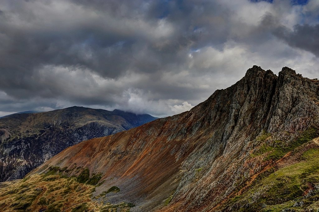
Ben Nevis is the highest mountain in Britain at 1,345 metres, and it has two faces that could belong to different countries. From Glen Nevis it is a vast, rounded lump of grass and scree with a well-made path up the side; from the north-east it is the largest mountain wall in the British Isles, 600 metres of cliff and gully that hold snow into June. The two classic walking routes correspond exactly to those two faces. The Mountain Track goes up the easy side; the Carn Mor Dearg arete goes round the hard side and looks at it the whole way. We think anyone who climbs the Ben should do the first, and anyone who has done the first should come back for the second.
The Mountain Track: honest work
The Mountain Track, formerly the Pony Track and still called the Tourist Path by people who have not walked it, was built in 1883 to supply the summit weather observatory. It starts from the floor of Glen Nevis at about 20 metres above sea level, which means the full height of the mountain has to be climbed on foot. The round trip is roughly 17 kilometres with 1,350 metres of ascent, and seven to nine hours is a sensible allowance. Nothing on it is technical; everything on it is long.
The path climbs the flank of Meall an t-Suidhe in a series of steady zig-zags to the col holding Lochan Meall an t-Suidhe, the Halfway Lochan, at 570 metres. Halfway by height, that is, and rather less than halfway by effort. From the lochan the track turns south-east and begins the true business of the day: a long staircase of hairpins up the western shoulder of the Ben, on a surface of rock and rebuilt stone. Above about 1,200 metres the angle relents and the path crosses the summit plateau, a stony expanse the size of several football pitches, to the trig point, the ruins of the observatory and an emergency shelter perched on its foundations.
Leaving the summit in cloud
The summit of Ben Nevis is under cloud for something like four days in five, and the plateau is bordered on its north side by Gardyloo Gully and the cliffs of the north face, and on its south-west side by the steep, loose funnel of Five Finger Gully. Both have killed walkers who simply walked the wrong way off the top. The remedy is a pair of compass bearings that every visitor should know before setting out: from the trig point, walk 150 metres on a grid bearing of 231 degrees, then follow a bearing of 282 degrees until the path reappears below the plateau. The first leg avoids Gardyloo Gully; the second avoids Five Finger Gully. Pacing 150 metres in fog with a compass in hand feels absurd on a summer afternoon. It is exactly what the mountain rescue team wishes more people had done.
The observatory and the plateau
The ruined walls on the summit belong to the meteorological observatory that operated from 1883 to 1904, staffed year-round with hourly readings taken through every storm. Its records remain among the most complete mountain weather archives in the world, and they explain the character of the place: a mean annual temperature just below freezing, an average of around 260 gales a year, and snow lying on the plateau for most of the year. The observatory closed for lack of funds; its foundations now support a small refuge that is a last resort rather than a destination. Old snow lingers in the gullies rimming the plateau well into summer, and the cornices along the north edge are not to be approached for a photograph.
Carn Mor Dearg and the arete
Carn Mor Dearg, at 1,220 metres, is a mountain in its own right and a Munro, but almost everyone who climbs it does so on the way to something bigger. The classic round starts either from the North Face car park at Torlundy or from the Mountain Track itself, branching off above the Halfway Lochan. The Torlundy start follows forestry tracks into the Allt a’ Mhuilinn glen, with the north face slowly filling the view ahead, and then climbs steeply onto the ridge of Carn Beag Dearg. From there a long, easy crest runs south over Carn Dearg Meadhonach to the summit of Carn Mor Dearg, and the whole of the Ben’s north-east face is laid out across the corrie: Tower Ridge, the Orion Face, the great buttresses, and in spring the snow-choked gullies between them.
The arete itself curves in a long crescent from Carn Mor Dearg around the head of Coire Leis to the foot of the Ben’s summit slope. It is a grade one scramble, and in practice it is mostly a walk along the top of a stack of granite blocks, with the odd step requiring hands and a couple of sections where the crest narrows to a metre or so with a steep fall to the corrie on the left. A path on the right avoids the narrowest parts at the cost of some loose ground. At the far end, the arete meets the mountain, and 250 metres of steep boulder slope lead directly to the summit plateau from the south-east. The full round is around 17 to 18 kilometres with 1,500 to 1,600 metres of ascent, and ten hours is a realistic day for most walkers.
What the arete demands
The requirements for the CMD arete, as everyone calls it, are less about climbing skill than about judgement:
- A settled forecast. The arete is exposed to wind from every direction and there is no easy way off its middle section.
- Dry rock. Wet granite is fine; verglas is not, and the blocks ice up early and late in the year.
- Time in hand. The round is a long day, and the arete is slower than its length suggests.
- Winter skills from November to May. Under snow the arete becomes a classic winter mountaineering route, and the final slope to the plateau is a steep snow climb that has avalanched.
The descent, and why the order matters
Almost every party descends by the Mountain Track, and the round should be done in that direction. The arete is far easier in ascent, when the difficult moves are taken facing the rock, and the final slope onto the plateau is a boulder scramble going up but a treacherous, loose descent going down. Coming off the plateau by the Mountain Track also means finishing on a path that can be followed in any weather, provided the two bearings are respected at the top. The walk down is long, and the knees will complain about the stone steps for the last hour, but the day taken as a whole, from the forestry track in the morning to the glen at dusk, is the finest mountain round in Britain that requires no rope.